
District Overview
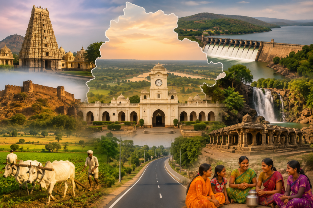
Nagarkurnool District is one of the most significant districts in the southern part of Telangana, renowned for its rich cultural heritage, historical landmarks, scenic landscapes, and agricultural prosperity. Established on October 11, 2016, during the reorganization of districts in Telangana, Nagarkurnool has emerged as an important center for administration, tourism, education, and rural development.Spread across a vast geographical area, the district is characterized by fertile agricultural lands, picturesque hills, rivers, and reservoirs that contribute significantly to its natural beauty and economic growth. Agriculture remains the backbone of the district’s economy, with thousands of farmers cultivating crops such as paddy, cotton, maize, groundnut, and pulses.Nagarkurnool is also widely recognized for its spiritual and tourist attractions.
Total Towns
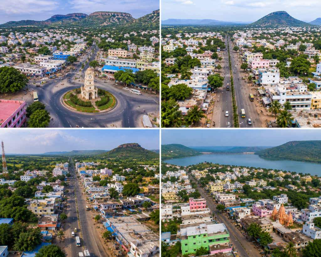
Nagarkurnool District is home to several towns that serve as important centers for administration, commerce, education, healthcare, and cultural activities. The district’s urban development is primarily driven by four major towns—Nagarkurnool, Kalwakurthy, Achampet, and Kollapur. Nagarkurnool, the district headquarters, functions as the administrative and commercial hub of the region, providing essential government and public services. Kalwakurthy is a rapidly developing town known for its strong agricultural markets, business activities, and transportation connectivity. Achampet serves as a gateway to the scenic Nallamala Forest region and is well-known for its proximity to several tourist destinations and religious sites. Kollapur, located near the Krishna River and Somasila Reservoir, is recognized for its rich historical heritage, cultural significance, and growing tourism sector. Together, these towns play a vital role in the district’s economic growth and social development.
Population
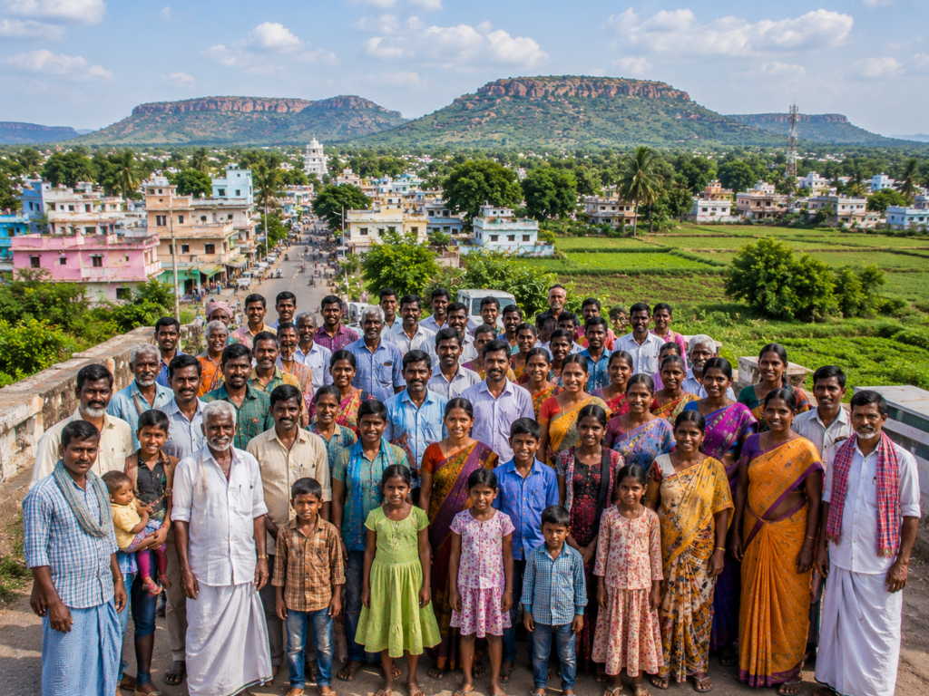
Nagarkurnool District is home to a diverse and vibrant population that reflects the rich cultural heritage and traditions of Telangana. The district has a population of over 8.6 lakh people, with communities living across towns, villages, and rural settlements. Agriculture remains the primary occupation for a large portion of the population, while many residents are also engaged in business, education, government services, and various small-scale industries.The district maintains a balanced demographic structure, with men, women, children, and senior citizens contributing to its social and economic development. A significant percentage of the population resides in rural areas, where agriculture and allied activities form the backbone of daily life. At the same time, urban centers such as Nagarkurnool, Kalwakurthy, Achampet, and Kollapur continue to experience steady growth in infrastructure, education, healthcare, and employment opportunities.
Population Chart
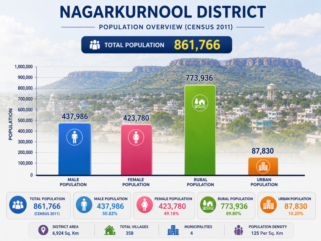
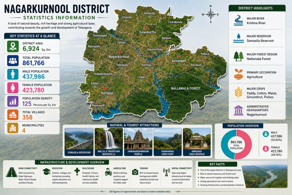
The Population Chart provides a visual representation of the demographic distribution of Nagarkurnool District based on Census data. It highlights the total population as well as the distribution between male and female residents, along with the rural and urban population segments. The chart clearly shows that a significant majority of the district’s population resides in rural areas, reflecting the district’s strong agricultural foundation and village-based lifestyle. Urban centers such as Nagarkurnool, Kalwakurthy, Achampet, and Kollapur account for a smaller but steadily growing share of the population due to ongoing development and urbanization.The chart also demonstrates a balanced gender distribution, indicating healthy demographic stability across the district. These population statistics are valuable for understanding the district’s social structure, planning infrastructure development, improving public services.
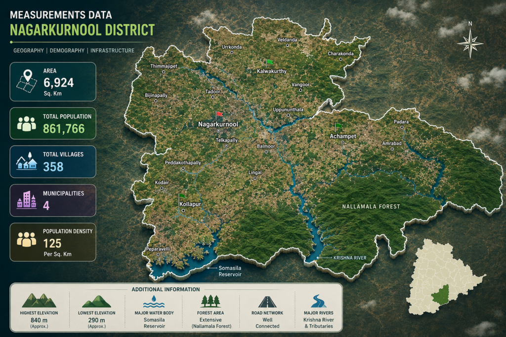
Measurements Data
Nagarkurnool District covers a vast geographical area and is one of the largest districts in Telangana in terms of land extent. The district spans approximately 6,924 square kilometers, comprising a diverse landscape of agricultural lands, forests, hills, rivers, reservoirs, and rural settlements. Its strategic location and varied terrain contribute significantly to its environmental, agricultural, and tourism potential.The district is characterized by the presence of the Nallamala Forest, which occupies a substantial portion of the southern and eastern regions, providing rich biodiversity and ecological importance. The Krishna River and Somasila Reservoir serve as major water resources, supporting irrigation, drinking water supply, and agricultural activities throughout the district.Nagarkurnool consists of 358 villages and 4 municipalities.
Statistics Information
Nagarkurnool District is one of the largest and most geographically diverse districts in Telangana, known for its rich natural resources, extensive forest cover, agricultural productivity, and cultural heritage. The district covers an area of approximately 6,924 square kilometers and is home to a population of 861,766 people. With a population density of around 125 persons per square kilometer, the district maintains a balanced rural and urban demographic structure. A majority of the population resides in rural areas, where agriculture remains the primary source of livelihood and economic activity.The district comprises 358 villages and 4 municipalities, namely Nagarkurnool, Kalwakurthy, Achampet, and Kollapur, which serve as important administrative, commercial, and service centers. Nagarkurnool is blessed with significant natural assets, including the Nallamala Forest.
Previous History
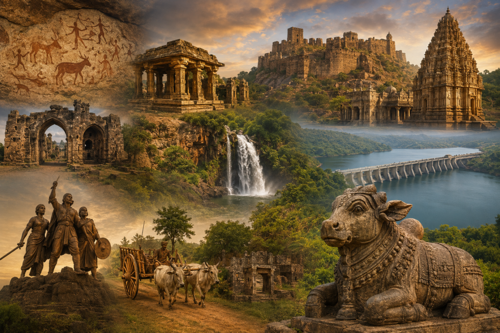
Nagarkurnool District possesses a rich historical and cultural heritage that dates back thousands of years. The region has witnessed the rise and fall of several powerful dynasties, including the Satavahanas, Chalukyas, Rashtrakutas, Kakatiyas, Vijayanagara rulers, and the Nizams of Hyderabad. Archaeological findings, ancient temples, forts, inscriptions, and rock art discovered across the district provide evidence of its long-standing historical significance and human habitation since prehistoric times.The district is closely associated with the historic Palamoor region and has played an important role in the cultural, administrative, and economic development of southern Telangana. The famous Nallamala Forest region, Krishna River basin, and surrounding settlements have supported civilizations, trade routes, and agricultural communities.